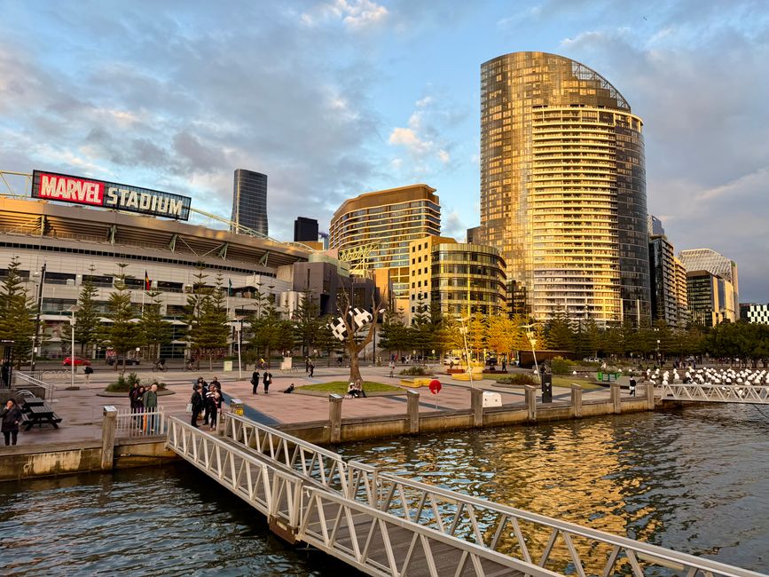
Melbourne is in for a classic spring split personality this week, with warm sunshine and temperatures peaking at 26°C giving way to snow on the alpine ranges and a sharp drop back to 13°C in the city — all within the space of a few days.
Warm Start, Cold Finish for Melbourne's Spring Week
The city is set to enjoy some of its best spring conditions of the season toward the end of this week. Temperatures are forecast to climb to 23°C on Thursday and reach 26°C on Friday, offering Melburnians a genuine taste of the warmer months ahead.
But the relief will be short-lived. By the middle of next week, conditions are expected to reverse sharply, with Melbourne's top temperatures falling to around 13°C — well below the city's October average of 20°C — and snow returning to the Victorian ranges.
That kind of dramatic swing is not unusual for this time of year, but the speed of the turnaround makes this particular week stand out. As our coverage of Melbourne's spring weather rollercoaster has shown, October is one of the most volatile months on the Victorian weather calendar.
Why Spring Delivers Such Extreme Swings
The explanation lies in a battle between two competing air masses. Warm air building to Melbourne's north is in direct conflict with cold air still pushing up from the south, and neither has yet established dominance. The result is that temperatures become almost entirely dependent on wind direction.
When the wind swings from the north, the city climbs into the mid-20s. When a southerly takes over, temperatures plunge and it can feel more like the depths of winter. That ongoing tug of war is, in essence, what spring in Melbourne is — and it's what makes forecasting across a seven-to-ten day window so challenging at this time of year.
Significant Rainfall Already Recorded, More on the Way
The wild conditions aren't limited to temperature. Victoria has already recorded substantial rainfall in recent days, with some areas receiving more than double their entire October average rainfall in just a short period. The Wimmera and Gippsland regions were among the hardest hit.
There is potential for further significant rain next week, with a wandering low pressure system expected to arrive alongside the colder air, raising the possibility of another burst of heavy falls across parts of the state. Readers can also follow our reporting on snow and rain hitting Victoria's alpine areas for the latest updates.
What to Expect in the Days Ahead
The message for Melburnians is simple: make the most of the warmth and sunshine while it lasts through Friday. From the middle of next week, a very different wardrobe will be required — think heavy jackets, not sunscreen.
Further updates on the timing and intensity of the cold change will be available as forecasts are refined over the coming days.


